Hi.
Do you love to use Google Earth?
It is a tool that offers great amount of information about the places you haven’t been to.
Sometimes you may feel you are traveling all around the world, using this amazing tool.
Then, do you know that Google recently has updated a part of Google Earth’s function, “Timelaps”?
The function was released in 2013, which function visualize how a city has changed, by arranging pictures taken in a city chronologically.
This time, more than five millions of pictures have been added to “Timelaps,” and now you can see how a place has changed in 32 years, from 1984 to 2016, on Google Earth.

Refer to the site: http://gigazine.net/news/20161130-google-earth-timelapse/
Amazingly, you can enjoy this newly-updated function on desktop-version Google Earth.
For those of you who don’t like to download an unnecessary application on your PC, don’t worry!
You can have a look at Timelapse movies added this time on Youtube.
The movie below is the timelaps of Chuquicamata Mine in Chile.
It gives us a clear picture how the mine has changed in 32 years.
Google puts other new timelapse movies on a channel named “Earth Outreach.”

Refer to the site: http://gigazine.net/news/20161130-google-earth-timelapse/
Surprisingly, there are 193 newly-produced timelapse movies on the channel!
Have a quick look at the great quality of movies on Youtube!
How was it?
Let’s to be a time-traveler by using “Timelapse”!


Related posts:
 Let’s take a memo everywhere you want by “Phree”!
 Candies and snacks perfect for souvenirs of Japan!
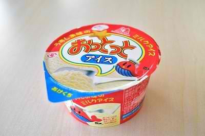
 Don’t miss a newly-released ice cream with a perfect collaboration between cream cheese and green tea flavors!
 Oh no! The full-sized Gundam figure at Odaiba will be removed….
 Have you seen this innovative hammer? ―It’s a revolution of hammer’s kingdom!―
 Who rescued a baby? ―it’s an amazing story that Siri help human’s life―
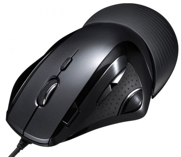
 The laser mouse which mitigates a burden to your wrist by human engineering is introduced by Sanwa Supply
 The convenient item for taking your pets! The bandanna for pets that prevents unpleasant insects is on sale


, the best place to visit for those who love Japanese history!")